Ogmore Valley Trail: Aberkenfig to Nant-y-Moel
Starting on a gently sloping hill leading out of the Bridgend suburb of Aberkenfig, this peaceful pathway takes you along the valley basin where the Lynfi and Ogmore Rivers meet. Without a car in sight and relatively flat, this is chance to get away from it all walking and cycling through woodland never too far off the beaten track.
Rusted railway ramparts visible on the way are evidence of the area's great locomotive past when the Ogmore Valley Railway transported huge loads of coal between the seaside town of Porthcawl and Nant-y-Moel.
Past the town of Bryncethin the route continues on the A4061 and on to Ogmore Vale via Cemetery Road. Ogmore Vale was nothing more than a small community of farmers until 1865 when the railway was built. The village's Gwalia Stores, built in 1880, can still be visited in all its former glory at the St Fagan's National Museum in Cardiff after being transferred and rebuilt there brick by brick.
The former mining town of Nant-y-Moel is finally reached on this route. Lynn the Leap - long jump Olympic gold medallist in the 1964 Tokyo Olympics - grew up here. Also to be discovered here is the former Nant-y-Moel Workingmen's Hall and Institute turned arts theatre. For those wanting to extend their trip, start the route in Bridgend. The Ogmore Valley trail can also be linked with the Traffic Free routes of the Garw Valley Trail and a section of National Cycle Route 4 to Kenfig Hill.
Natural attractions:
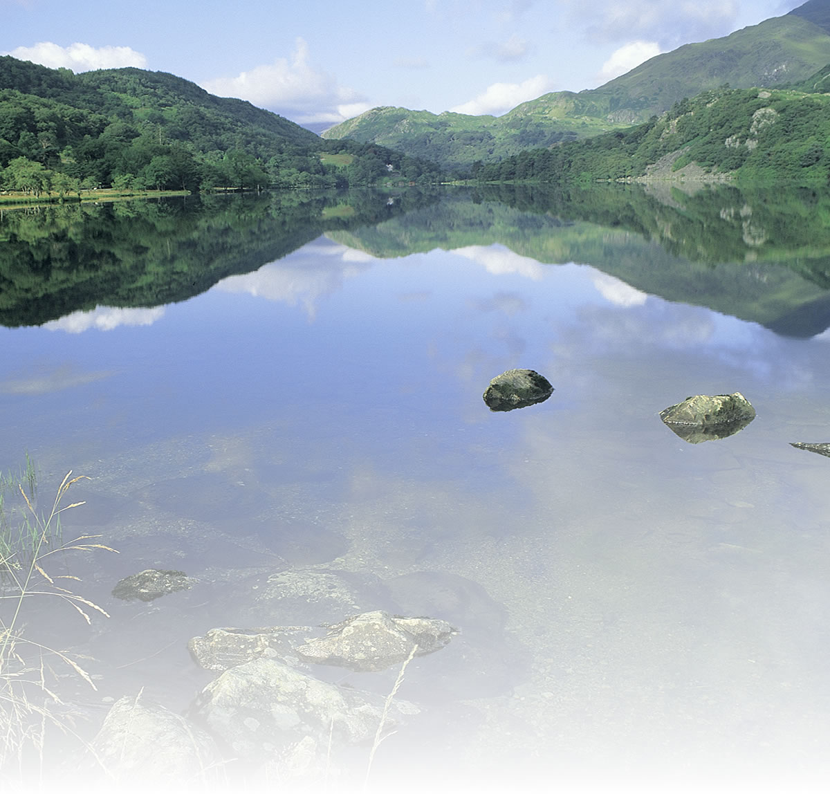
- Ogmore River
Route submitted by: Sustrans
Tags
Route map
View Aberkenfig to Nant-y-Moel in a larger map
Comments (0)
Key route details
- Region/Area:
South Wales Valleys
- Distance:
8 miles
- Classification:
Easy/Medium
- Traffic:
Traffic Free
- Surface:
Tarmac
- NCN Route:
4
- Start:
Aberkenfig
- Finish:
Nant-y-Moel
- Access:
Rail stations at Bridgend, Sarn and Tondu
- Maps and guides:
-
Celtic Trail - East NN4B £6.99 Celtic Trail Guidebook – £6.99 Celtic Trail Leaflet – Free PDF - Guides & publications:
- Ogmore Valley Trail Leaflet
Choose another route