Top and Tailing the Shetlands
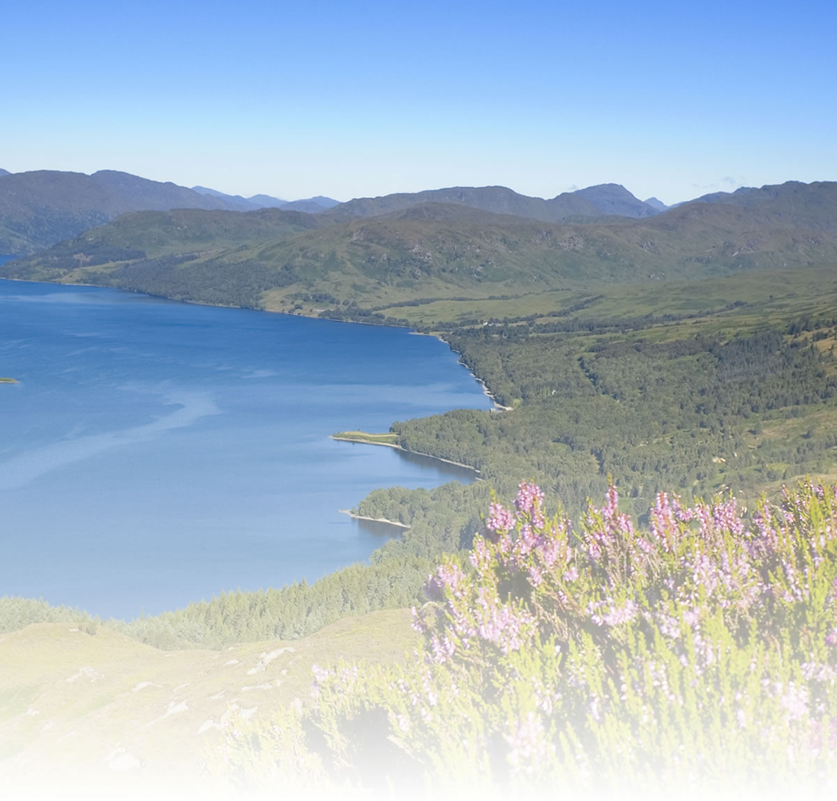
This route uses route 1 of the National Cycle Network on the Shetland Islands taking you on a fabulous tour of these beautiful islands. Shetland has 1000 miles of smooth and quiet roads. There are few steep hills, but open vistas of sea and sky make for exhilarating cycling, particularly at midsummer where there are 19 hours of daylight.
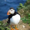
The ride starts at Sumburgh Head (look out for puffins) and heads north through mainland Shetland passing Loch Spiggie and the beautiful Bay of Scousburgh on your way to the capital of Lerwick. North of Lerwick it uses some of the many winding single-track roads as alternatives to the sometimes busy main road to create several circular or braided routes (see yellow route lines on below map).
You continue through mainland Shetland passing Loch Strom at Hjaltasteyn and then onto Voe before coming to Booth of Toft where you catch the ferry to Yell. The route then passes through Yell, passing the stunning Basta Voe on your way to the ferry at Gutcher where another ferry crossing takes you to Unst. More fabulous scenery awaits you on Unst including the lovely Loch of Watlee, before arriving at the finish point at Nor wick Bay.
For cyclists needing to get ferries back to U.K mainland there are 2 options to get back to Kirkwall (for ferries back to Aberdeen):
1. Cycle back to Kirkwall.
2.Try to hitch a lift back to the mainland.
Natural attractions:
- Bay of Scousburgh
- Loch of Spiggie
- Yell Sound
- Keen of Hamar National Nature Reserve
- Hermaness National Nature Reserve
Visitor attractions:
- Ness of Burgi
- Jarlshof Prehistoric and Norse Settlements
- Crofthouse Museum
- St Ninians Church (remains of)
- Broch of Mousa
- Weisdale Mill and Bonhoga Art Gallery
- Scalloway Museum
- Bay of Scousburgh
- Muness Castle (remains of)
Visit www.sustrans.org.uk/map
The Complete National Cycle Network App
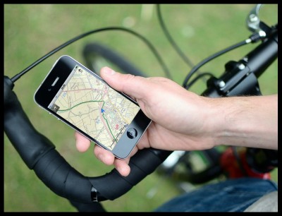
You can also access Sustrans online mapping with the Complete National Cycle Network app. The app includes all of our online features as well as:
- GPS tracking – record and share routes
- Storage of map backgrounds for areas without mobile signal
To download the app, visit the Sustrans website
Route submitted by: Sustrans
Tags
Route map
View Top and Tailing the Shetlands in a larger map
Comments
Key route details
- Region/Area:
The Northern Isles
- Distance:
109 miles (end to end)
- Time needed:
3-6 days
- Classification:
Hard
- Traffic:
On road
- Surface:
Tarmac
- NCN Route:
National Route 1
- Start:
Sumburgh Head
- Finish:
Nor Wick Bay
- Cycle hire:
Eric Brown raleigh Cycles - Lerwick
- Access:
Ferries operate between Aberdeen and Lerwick. Click HERE for ferry times
- Maps and guides
-
Aberdeen to Shetland NN1E £8.99
- Links with:
There are a number of local cycle routes on the Shetland isles. Check them out online with Sustrans web mapping
Choose another route