The Dava Way
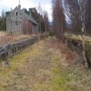
This is a pleasant and easy route. The surface of the path is generally compacted railway track-bed material, rough and rutted in places, and is good for walking and off road cycling.
Depending on the weather, stretches may be very wet. There are 16 opening gates along the route with 2 kissing gates as you approach Grantown and low steps at the track end at Grantown with a steeper flight at Squirrel Neuk Bridge. Further detail on the route can be found at www.davaway.org.uk
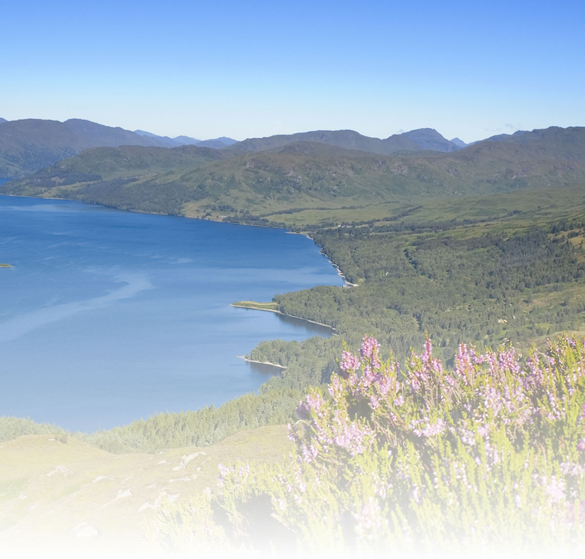
It offers a variety of landscape, flora and fauna along with natural and railway heritage. It is about 40km to Grantown-on-Spey from the centre of Forres. Starting your journey from Forres; the Dava Way begins at Mannachie Avenue some 2km from the town centre. A network of sign-posted paths through the various woodlands surrounding Forres, from Grant Park and the Sanqhuar Pond all lead to the old railway and the start of the Dava Way.
Starting from Grantown-on-Spey Town Square, take the road leading towards the camping and caravan park.
It is a journey through woodland and across moorland with panoramic views of the shire counties of Nairn, Inverness, Moray, Ross & Cromarty and Sutherland. To the south, the Cromdale Hills and beyond that, the distinctive Lairig Ghru which cuts through the heart of the Cairngorms massif can be seen.
The Dava Way is generally a wild environment. Take the appropriate clothing and equipment before setting out. Prepare for changing weather on the upland sections.
Natural attractions:
Visitor attractions:
Visit www.sustrans.org.uk/map
The Complete National Cycle Network App
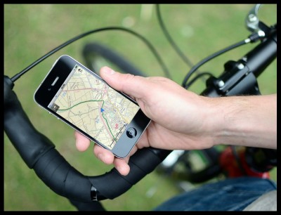
You can also access Sustrans online mapping with the Complete National Cycle Network app. The app includes all of our online features as well as:
- GPS tracking – record and share routes
- Storage of map backgrounds for areas without mobile signal
To download the app, visit the Sustrans website
Route submitted by: Sustrans
Tags
Route map
View Dava Way in a larger map
Comments
Key route details
- Region/Area:
Northern Scotland
- Distance:
24 Miles
- Time needed:
4-6 hours
- Classification:
Medium
- Traffic:
Traffic-free
- Surface:
Gravel
- NCN Route:
N/A
- Start:
Forres or Grantown-on-Spey
- Finish:
Forres or Grantown-on-Spey
- Access:
Nearest stations at Forres and and Broomhill (about 4 miles south west of Grantown)
- Maps and guides
-
Aberdeen to Shetland NN1E £8.99
- Guides & publications:
- Links with:
National Route 1 passes through Forres
Choose another route