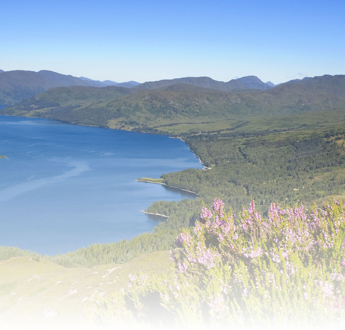
East Lothian by bike
This ride description starts from Longniddry railway station. However, it’s possible to start the cycle from Edinburgh and follow Route 1 to Musselburgh, where you join Route 76 just after crossing the River Esk. Route 76 heads round the Ash Lagoons near Musselburgh golf course and race track and then along the coast on a combination of multi-use paths and quiet roads, past Preston Pans and Port Seton to Longniddry. The last couple of miles to Longniddry are on road.
When coming out of Longniddry railway station, turn right and go straight through the roundabout onto the B1377. After a few hundred metres, look out for a sign on the right-hand side of the road for the path to Haddington. Take care turning right and onto the track under the railway line. Keep to the left to follow the track which runs just to the south of the live railway. This dust path is on what used to be the Haddington branch line from Longniddry, which operated from 1846 to 1968. The leafy corridor of the railway path curves for 4 miles through farmland and, after passing under the A1, enters the town of Haddington on the B6471.
Having been bypassed by the mainline railway and the A1, Haddington retains many fine old buildings and the old Nungate Bridge, just south of the Victoria Bridge, is worth a visit. Route 76 goes right through the centre of town, along Market Street and over the River Tyne on Victoria Bridge (not to be confused with the River Tyne in England). About 200 metres east of the bridge, turn left and follow a path alongside a playing field and cross the river again on a footbridge. You then join a lovely riverside path for just under a mile (although, unfortunately, parts of the path were washed away in recent floods). Turn right at the end of the path at Abbey Bridge and follow the Route 76 signs along country roads - keep left at the next junction and after less than 2 miles take a left fork onto a single track road that runs past the substantial ruins of Hailes Castle. Built on an escarpment above the River Tyne, the castle, which has its origins in the late 13th Century, has to be visited to appreciate what a fine and impressive structure it once was. From the castle, it’s a fairly easy run down to the village of East Linton, passing under the A1 again. Preston Mill to the north-east of the town is now owned by the National Trust for Scotland. It is one of the oldest meal mills in Scotland and still in working order.
If you want to carry on to Dunbar, turn right onto the B1377 before you enter East Linton, and join the A199 and then the A1087 to Dunbar. The majority of traffic is now on the A1, so these roads are relatively quiet. Dunbar is a very pleasant town, with a picturesque harbour, rugged cliff faces, fine restaurants, a leisure pool and John Muir’s Birthplace. Mary Queen of Scots was brought to Dunbar Castle by the Earl of Bothwell on 24 April 1567 after he abducted her and they returned to the castle after their marriage on 15 May. After Mary’s subsequent surrender and abdication, the Scottish Parliament ordered the destruction of the castle. You can see the ruins near the harbour although access is closed for safety reasons. If you wish to leave Dunbar by train, remember to book bike space in advance. Dunbar is on the main east coast line and spaces are limited.
However, you have the option of continuing north from East Linton to North Berwick. There is a network of quiet roads from which to choose. A suggestion is to follow the B1407 past Preston Mill, take the first left. After slightly under two miles on a straight minor road, turn left, then right, left and right and follow the road into North Berwick through Wamphray, with the volcanic spur of Berwick Law to your left. North Berwick is another lovely destination, with a harbour, sandy coves and the renowned Seabird Centre. In terms of travelling with your bike, it has the distinct advantage of being at the end of the line, having a frequent service into Edinburgh, and no need to book bike spaces.
Information Centres:
Edinburgh & Scotland (AY) 3 Princes Street, Edinburgh EH2 2QP
Dunbar (S) 143A High Street, Dunbar EH42 1ES
North Berwick (AY) Quality Street, North Berwick EH39 4HJ
Places to search for on Sustrans website mapping:Longniddry, Haddington, East Linton, Dunbar, North Berwick
Natural attractions:
- River Tyne
- Firth of Forth
- Belhaven Bay
- North Berwick Law
- Bass Rock
Visitor attractions:
- Hailes Castle
- Preston Mill
- Belhaven Brewery
- John Muir House Museum
- Victoria Harbour (Dunbar)
- Dunbar Castle
- John Muir Country Park
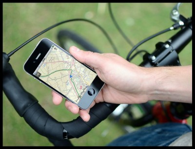
National Cycle Network (NCN) Online Mapping
View 25,000 miles of cycle routes, including 13,000 miles of NCN, using Sustrans online mapping. You can also:
- Draw, measure and share routes
- Find local amenities such as bike hire and shops
- Find bus stops, train stations and timetables
Visit www.sustrans.org.uk/map
The Complete National Cycle Network App
You can also access Sustrans online mapping with the Complete National Cycle Network app. The app includes all of our online features as well as:
- GPS tracking – record and share routes
- Storage of map backgrounds for areas without mobile signal
To download the app, visit the Sustrans website
Route submitted by: Sustrans
Tags
Route map
View East Lothian Rides in a larger map
Comments
Key route details
- Region/Area:
Central Scotland
- Distance:
18 miles
- Time needed:
3-5 hours
- Classification:
Medium
- Traffic:
Mixed
- Surface:
Mixed
- NCN Route:
National Route 76
- Start:
Longniddry Train Station
- Finish:
Longniddry Train Station
- Cycle hire:
Law Cycles, North Berwick - 01620 890643
Belhaven Bikes, Dunbar - 01368 860300
- Access:
Train stations at Longniddry, Drem, Dunbar and North Berwick
- Maps and guides
-
Coast and Castles South NN1C £6.99
- Guides & publications:
-
More rides in East Lothian
- Weather:
-

Fri
max: 10°C min: 1°C
-

Sat
max: 15°C min: 4°C
-
Sun
max: 11°C min: 5°C
-
Mon
max: 13°C min: 3°C
Choose another route