Taff Trail north of Merthyr Tydfil
In its entirety the Taff Trail runs for 55 miles from Cardiff to Brecon.
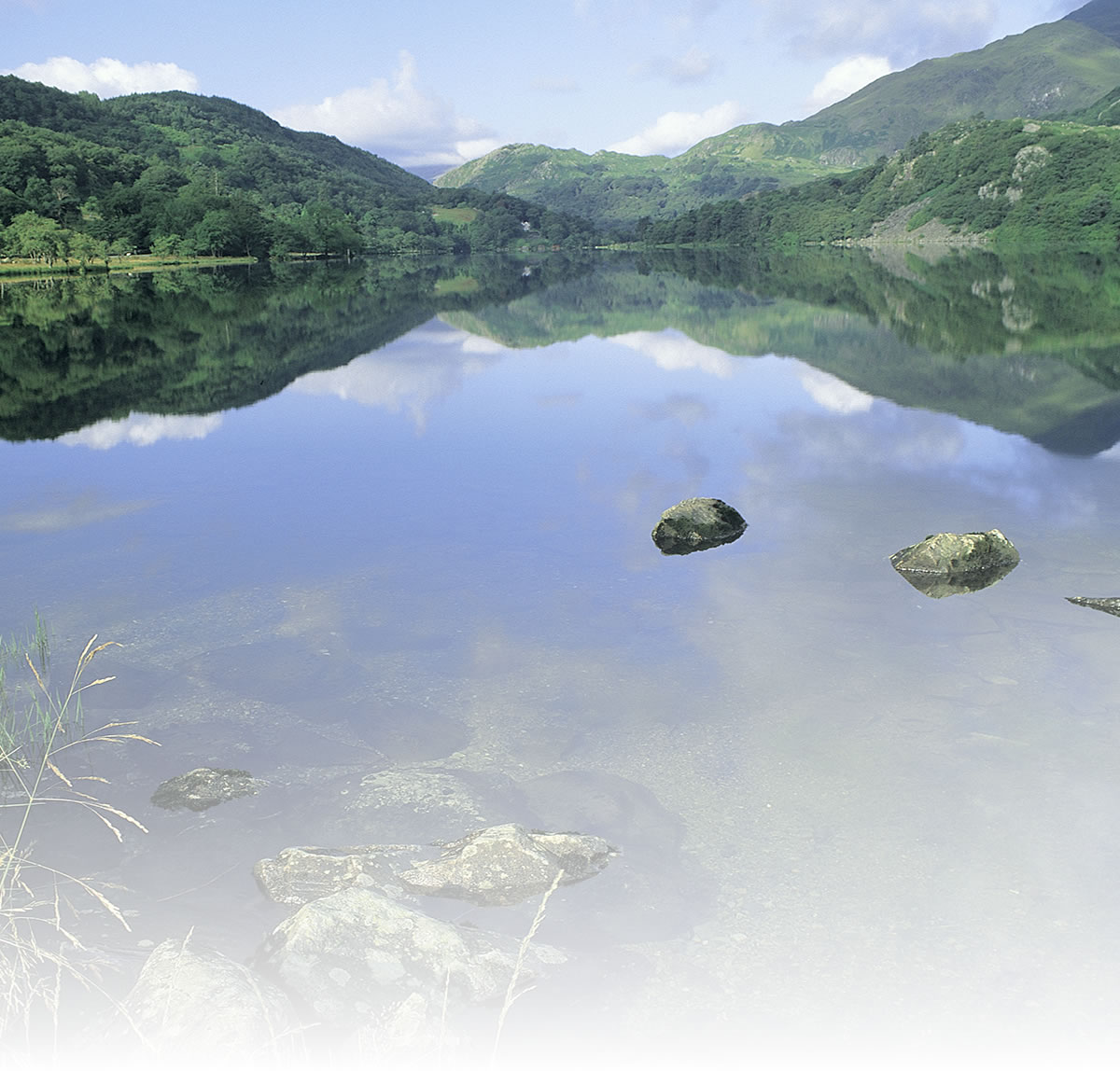
The section described here starts just north of Merthyr Tydfil where the trail finally leaves behind the densely populated industrial area to the south and heads for the hills, passing through woodlands and over tall viaducts to the first of the reservoirs in the Brecon Beacons at Pontsticill with dramatic views ahead to the highest mountains in the National Park.
There is a gentle climb from the Cefn Coed Viaduct to the end of the railway path and if you go on to the reservoir there is a much steeper climb on road after leaving the traffic-free trail. Beyond here the Taff Trail runs alongside the reservoir then climbs steeply on road to a highpoint of 439 metres (1440ft) before a long offroad descent to Talybont on Usk.
Lying just to the south of the trail is Cyfartha Castle, built in 1824 for the Crawshay family, the local ironmasters, and now a museum and art gallery open to the public, set in 160 acres of rolling parkland.
Natural attractions:
- Views of the Brecon Beacons
-
Ponsticill Reservoir
Visitor attractions:
- Cyfartha Castle
- Cefn Coed Viaduct
Route submitted by: Sustrans
Tags
Route map
View Larger Map
Comments (0)
Key route details
- Region/Area:
South Wales Valleys
- Distance:
4 miles
- Time needed:
0.5 hours
- Classification:
Medium
- Traffic:
Traffic-free then quiet lane to the reservoir
- Surface:
Tarmac
- NCN Route:
National Route 8
- Start:
Cefn Coed Viaduct, northwest of Merthyr Tydfil
- Finish:
Ponsticill Reservoir
- Cycle hire:
None in Merthyr Tydfil, nearest are in Brecon or Abergavenny
- Access:
Train station at Merthyr Tydfil
- Maps and guides:
-
 Lôn Las Cymru - South NN8A £5.99
- Links with:
The Taff Trail continues almost entirely traffic-free south from Merthyr Tydfil to Cardiff.
- Weather:
-

Thu
max: 12°C min: 9°C
-
Fri
max: 14°C min: 9°C
-

Sat
max: 14°C min: 14°C
-

Sun
max: 16°C min: 14°C
Choose another route