Crathes Castle Loop
To begin, leave the Silverbank Caravan Club at its entrance along the A93. Turn left on the path and at the edge of the site there is an unsurfaced path which leads down to the Deeside Way (it is recommended that bikes are wheeled down this track). There is a better, surfaced path onto the Deeside Way from Morrisons car park but it is about 0.5 mile further west along the road to Banchory (A93).
Travel east along the Deeside Way to Milton of Crathes where the Royal Deeside Railway Preservation Society has its visitor centre. The society is rebuilding the railway between Milton of Crathes and Banchory and you can take a trip in an old train – see www.deeside-railway.co.uk for the timetable. Refreshments and snacks are also available at the visitor centre when the railway is operating. Milton of Crathes has a tea room, restaurant, shops and and art gallery.
Cross the car park and continue on the Deeside Way south of the main road. After about 100 metres, the Deeside Way joins a major track (just before a cobbled hump-back bridge). Turn left and follow the track round under the road bridge and up to the road leading to Crathes Castle.
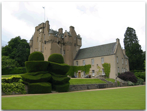
Turn right and follow the road up to visit the castle. Crathes Castle has a tea room and a shop. The castle grounds include extensive gardens with a number of pleasant walks.
Follow the road around the back of the castle for the start of the West Trail and Castle Gardens (Caroline’s Garden). At busy periods please wheel bikes within the castle grounds.
Remain on the main tarmac drive past Caroline’s Garden and follow it to the end which is at the West Lodge by the main road (A93).
Follow the shared-use path towards Banchory. Take care when crossing three minor roads into Silverbank.
After a short distance the Caravan Club Site is visible on the opposite side of the road. Take care when crossing the A93.
Visit the Sustrans Shop
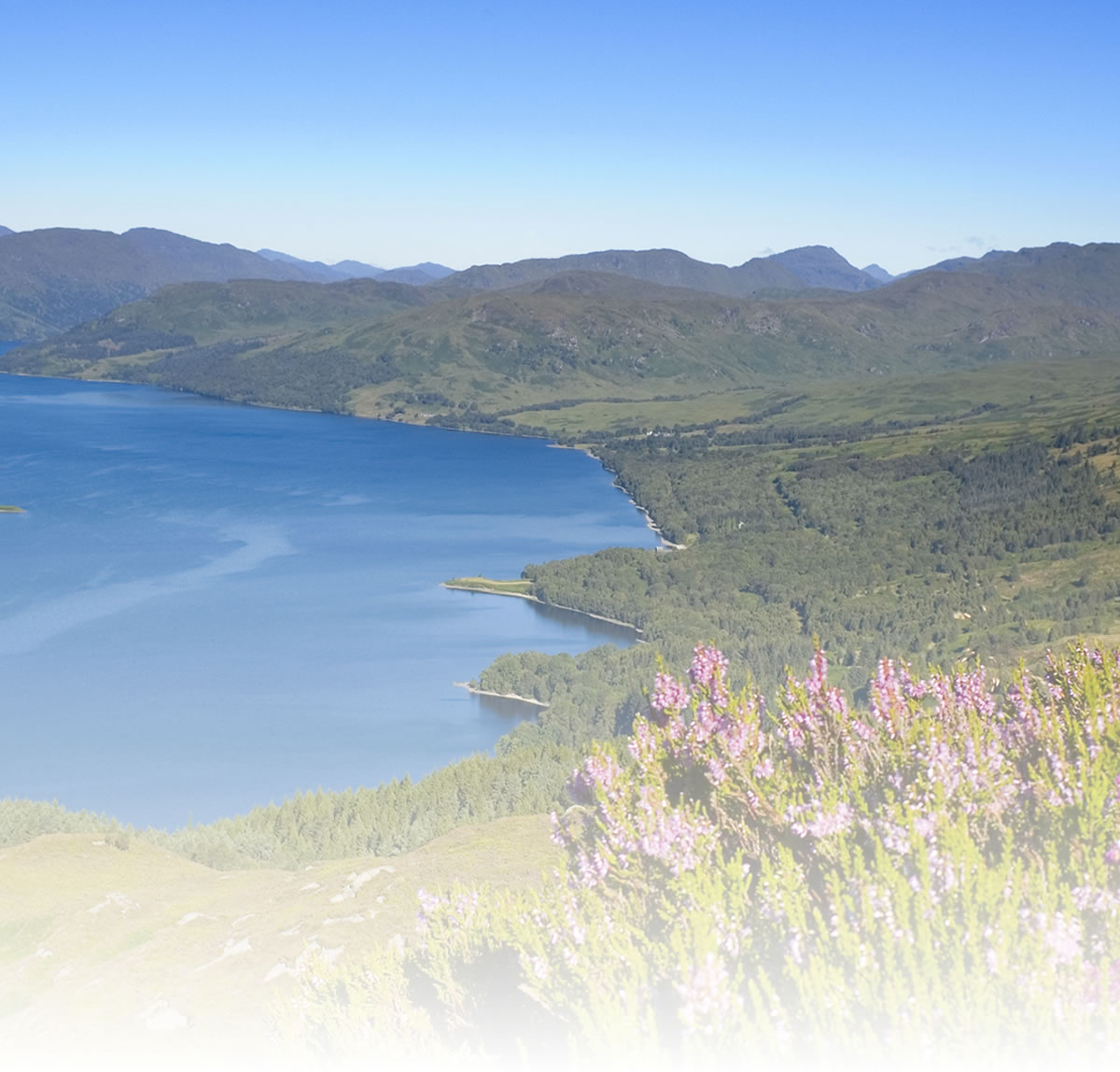
Natural attractions:
Visitor attractions:
National Cycle Network (NCN) Online Mapping
View 25,000 miles of cycle routes, including 13,000 miles of NCN, using Sustrans online mapping. You can also:
- Draw, measure and share routes
- Find local amenities such as bike hire and shops
- Find bus stops, train stations and timetables
Visit www.sustrans.org.uk/map
The Complete National Cycle Network App
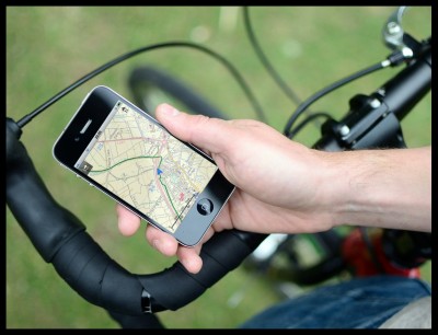
You can also access Sustrans online mapping with the Complete National Cycle Network app. The app includes all of our online features as well as:
- GPS tracking – record and share routes
- Storage of map backgrounds for areas without mobile signal
To download the app, visit the Sustrans website
Route submitted by: Sustrans Volunteer Rangers
Content submitted by members of Routes2Ride is published by Sustrans in good faith and its accuracy has not been verified. For our full terms and conditions, please read 'Terms of use'.
If you feel the route information provided is inaccurate or could be further improved, let us know by contacting the Sustrans web team: [email protected] or by adding a comment below.
Tags
Route map
Comments
Key route details
- Region/Area:
Northern Scotland
- Distance:
4 miles
- Time needed:
1 - 2 hours
- Classification:
Easy
- Traffic:
Traffic-free
- Surface:
Gravel
- NCN Route:
National Route 195
- Start:
Silverbank Caravan Club, Banchory
- Finish:
Silverbank Caravan Club, Banchory
- Cycle hire:
Numerous bicycle hire shops in Aberdeen
- Access:
Aberdeen – 18 miles from Banchory
- Maps and guides
-
Coast and Castles North NN1D £6.99
- Links with:
The Deeside Way (National Route 195) presently goes from Aberdeen to Banchory, mainly on the former railway line.
Heading east from Silverbank, the Deeside Way offers 17 miles of almost completely traffic-free route into Aberdeen City (and National Route 1).
- Weather:
-

Tue
max: 12°C min: 8°C
-

Wed
max: 11°C min: 9°C
-

Thu
max: 12°C min: 10°C
-
Fri
max: 12°C min: 10°C
Choose another route